 A picture true to original of the surface of our Earth
In the middle of the 1970s after I had returned from military, I started a traineeship, which I finished in 1978 as a surveyor. At this time you had to draw with ink and circle, while today there are CAD-programs and plotter. At the field respectively in the outside work we had mainly an optical equipment. Today there are electronical ones.
When I started my traineeship, the office bought its very first computer - an Olivetti with datas and programs on magnetic cards. It costs 9000 DM - it was the hole proud of my boss.
After I had finished the traineeship, I started to study surveying at the academy. Unfortunately, only after 2 year, I recognized that I was wrong. I canceled the study and worked in a consulting office as surveyor respectively as a architectural draftsman.
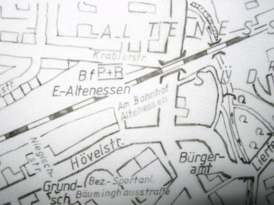 Section of a surveyor's plan of the old school